Tuesday, January 10, 2012
In the morning I headed into the Mountain Lake Wilderness Area from the south end. It had turned colder overnight after yesterday's rain. There was a biting wind with temperatures in the mid 20's, and soon after entering the Wilderness I came to a viewpoint aptly named Wind Rock. Here's a nice shot of moon set that also evokes the flavor of the departing storm and the bitter wind.

In the heart of Mountain Lake Wilderness is Lone Pine Peak (no view, barely a few rocks to identify the high point). This was my rainy turn-around point for yesterday's leg, so from there I returned to where I started - the big parking area on VA 613 (a little-used dirt road that has an impressive name: Salt Sulphur Turnpike).
Then I headed the other direction and into the 'faux wilderness'. What I mean by this is that for the next three miles the Appalachian Trail *pretends* that it is not closely following a road, even though a road is, in fact, never more than a few hundred feet away. The well-meaning trail designers dutifully avoid allowing the hiker any view of this road, but the effort is obviously forced and artificial.
This would be OK, and I understand the underlying principle, but HELLO - I know the road is there! And what's worse, the road takes the high ground along the spine of this ridge (imaginatively named Big Mountain), so the trail is the 'poor cousin' - forced to gerrymander its way in and out, up and down, along a side slope, often through rock fields with awful footing, requiring the hiker to stumble along, keeping his eyes to the ground. Here's a look at a typical stretch of trail through this section:

One of the positive aspects of yesterday's rain was that all the mosses and lichens were vibrant and perky today. So with morning sunshine, it was a pretty day to be out, wherever you walked.
But note: if you walked the road, you could actually be looking at the scenery rather than at your feet (virtually the same or better views compared to those on the AT), and your ankles would thank you as well.
Stretches of trail like this make me sympathetic to the non-purist "blue-blazers" and "yellow blazers" who opt to bypass these contrived constructions. Of course it's my mission to pass every white blaze going both ways, regardless of where the trail takes me, so I dutifully slogged along.
Lesson to take away from this: Support the Appalachian Trail Conservancy. Someday a truly dedicated (hopefully more scenic) 'foot trail only' corridor might be found to bypass situations like this. Today the AT is vastly improved over the original track that was laid out and hiked by Myron Avery. It's a wonderful resource, just not yet a 'perfect' one.
--------------------------
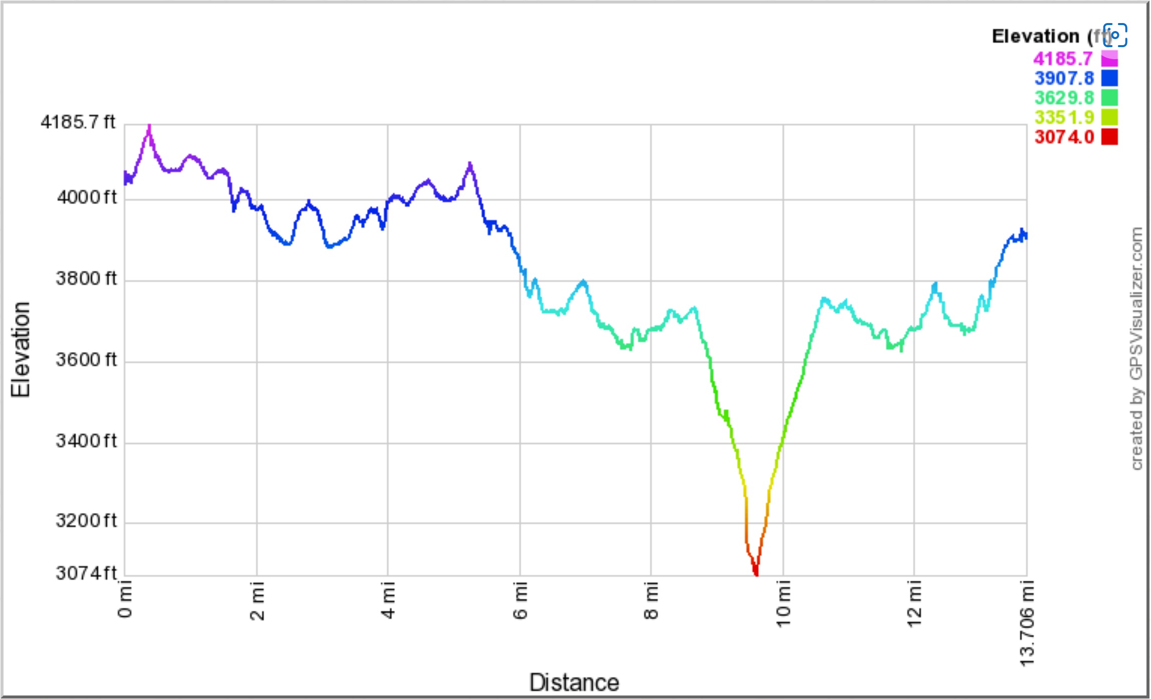
Here's the map of the Jekyll-Hyde wilderness hike, and an elevation profile. Note that I started in the middle at the road crossing, first hiked north (compass east) first to Lone Pine Peak and back, then south:
 |
No comments:
Post a Comment