 |
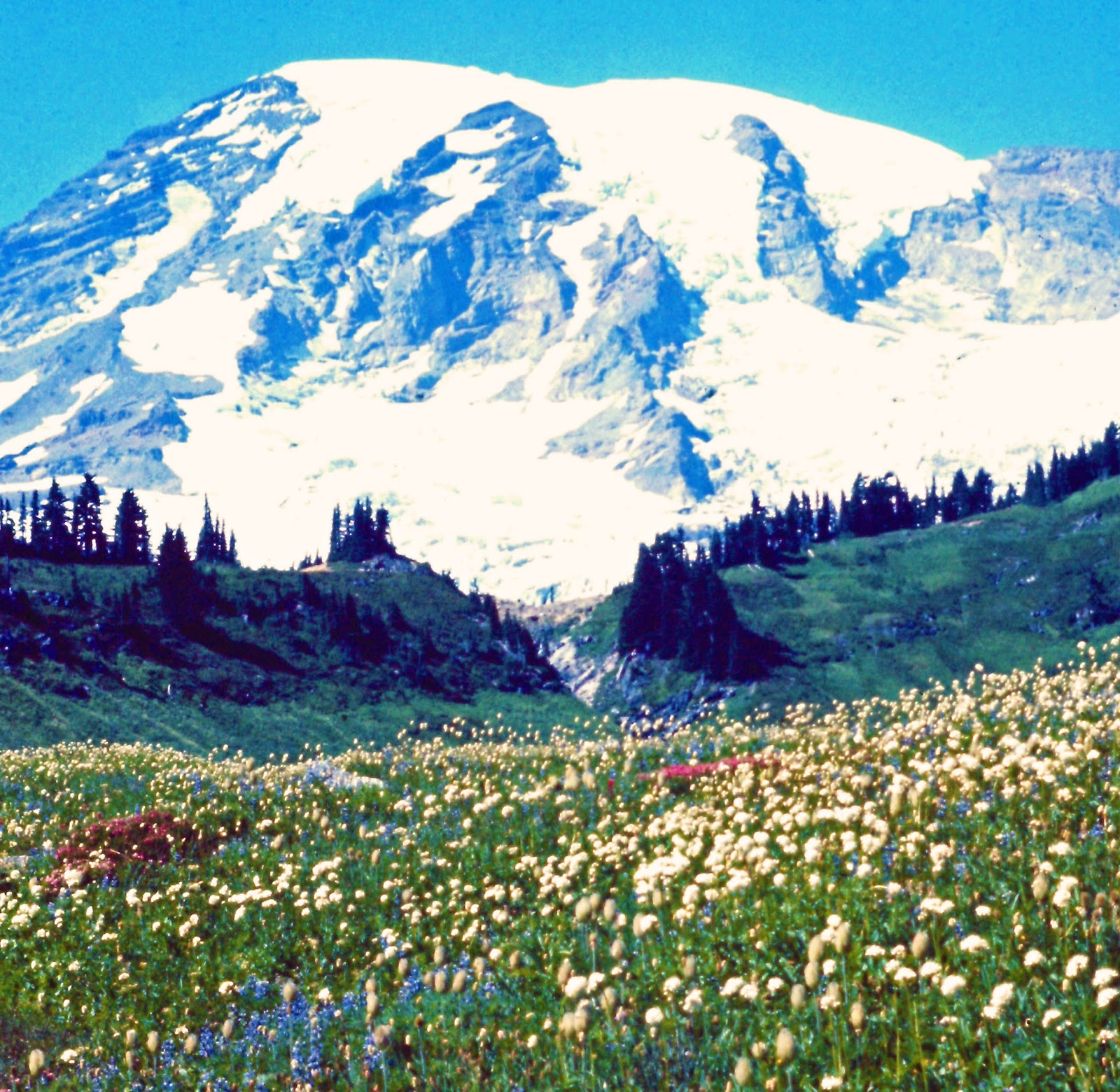
| Mid-summer wildflowers, typical of trail views along the Wonderland Trail, west side of Mt. Rainier, taken 19 August 1970 |
OVERVIEW:
Segment 4 begins where the Pacific Northwest National Scenic Trail intersects with the Pacific Crest National Scenic Trail in northern Washington. From there the route follows the Pacific Crest Trail route to the Columbia River and the Oregon State line, except that in the Mount Rainier National Park area there is a detour off the PCT to allow the hiker close-up views of this magnificent peak via part of the Wonderland Trail. It is unclear why the PCT route designers chose to keep the hiker at arm’s length from Washington’s greatest landmark, skirting the park boundary. But it is the philosophy of the Fifty Trail to engage the hiker with the best of each state’s scenic beauty, as much as is reasonably possible.
MAPS and TRAIL GUIDES:
Pacific Crest Trail maps and guidebooks: https://www.pcta.org/discover-the-trail/maps/
HEART OF THE TRAIL:
Section including the Wonderland Trail along the east flanks of Mount Rainier. Specifically: Start at Chinook Pass. Leave the PCT and head west to the Wonderland Trail via Eastside Trail and Owyhigh Lakes Trail followed by a one mile walk west on Sunrise Road. Pick up Wonderland Trail southbound from Sunrise Road to Cowlitz Divide Trail. East on Cowlitz Divide Trail to Steven’s Canyon Entrance Station, then continue east on Laughing Water Creek Trail back to Pacific Crest Trail then south on the PCT to White’s Pass. (55.6 miles)
TRAIL ROUTE:
3,318.0 – northern end of Washington segment at the north/east Junction of the PCT and PNT (where they first merge heading westbound/southbound). PCT mile 2648.8
X – PCT mile 2635.5, PNT splits and heads west, continue south on PCT
X – Chinook Pass. PCT mile 2323.8. Leave PCT to head west toward Mt Rainier on Eastside Trail
***37.6 mile “detour” on the Mt. Rainier National Park Trails to walk the Wonderland Trail. Substituting for 10.9 miles on the PCT. See the HEART OF description above for details.***
X – PCT mile 2312.9, Junction with Laughingwater Creek Trail, return to PCT and head south.
3,846.6 – Bridge of the Gods, Columbia River. Oregon state line. PCT mile 2146.9. End of Washington State segment. Continue south on Pacific Crest National Scenic Trail
No comments:
Post a Comment